Master plan of Paros port
Paros is located at the centre of the Cyclades island complex. Sifnos lies to the west, Ios and Sikinos to the south, Mykonos and Syros to the north and Naxos to the east of Paros. It is the third largest island of the complex, in terms of area, with a total of 196,31 km2 while its distance from the port of Piraeus is 90 nautical miles.
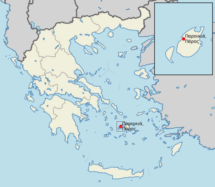
The Master plan study concerns the main port of Paros situated at Parikia, the largest village of Paros. Parikia is located at the west side of the island.
Commission
Following a tender process, CNWAY was commissioned in April 2016 by the Municipal port Authority of Paros-Antiparos to proceed in a timely manner with the implementation of the port master plan.
Project scope
The scope included the following:
1st Stage:
- Analysis and evaluation of the existing conditions
- Traffic forecast
- Development plan investigation (SWOT Analysis)
- Strategic goals formulation for a 25-year span
2nd Stage:
- Preliminary design of port and auxiliary infrastructure
- Description and economic-technical investigation of the development alternatives
- Implementation of strategic and business planning in a 5-year span
Alternative plans
Within the scope of Stage 2 of the Master Plan, technical proposals were elaborated for addressing the short-term operational shortcomings of the port. Three (3) development alternatives (Layouts 1, 2 and 3) were considered.
A multi-criteria analysis was undertaken to evaluate alternatives against a set of criteria that cover a wide spectrum of engineering aspects:
- Marine
- Transportation
- Environmental
- Architectural, Urban and Spatial Planning
- Cost
The evaluation was done by means of a weighted average whereby more emphasis was put on the set of the technical criteria (0,9) compared to the cost (0,1). Alternative 3 received the highest score and is proposed for implementation.
Complementary studies
A sediment transport study was undertaken in order to investigate potential basin sedimentation issues and impact of the alternative layouts to the adjacent coastline.
A wave disturbance study was carried out in order to investigate and evaluate the performance of the alternative plans compared to the existing wave disturbance.
Project facts
- Estimated construction cost is € 18,000,000, including electromechanical, transportation and building infrastructure.
- Construction of new infrastructure and expansion of existing to facilitate maximum port capacity
- Construction of sea defenses at the outer port to create a reduced wave climate and provide proper mooring conditions
- Separation of different port uses with emphasis on operational autonomy and quality upgrade of the services provided
- Zone allocation for passenger vessels with a capacity of 13 boats including a cruise vessel
- Zone allocation for fishing vessels with a capacity of 54 boats
- Zone allocation for recreational vessels with a capacity of 241 vessels
- Dredging to attain functional depths