Naxos Port Development Framework
Naxos, the largest island of the Cyclades complex, is located approximately in the centre of the Aegean Sea. It covers an area of approximately 428 km2, it spans 18 nautical miles across the NW direction, it has a maximum width of 13 nautical miles and a coastline length of 80 nautical miles. Its distance for the port of Piraeus and Rafina is 103 and 87 nautical miles respectively.
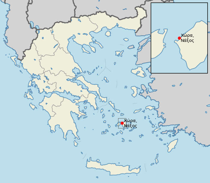
The study implementation concerns the central port of Naxos located in Chora, at the west side of the island. The existing port facilities extend along the northeast stretch of Naxos bay.
Commission
Following a tender process, CNWAY was commissioned in August 2017 by the Municipal port Authority of Naxos to proceed in a timely manner with the implementation of the relevant study.
Project scope
1st Stage:
- Analysis and evaluation of the existing conditions
- Traffic forecast
- Development plan investigation (SWOT Analysis)
- Strategic goals formulation for a 25-year span
2nd Stage:
- Preliminary design of port and auxiliary infrastructure
- Description and economic-technical investigation of the development alternatives
- Implementation of strategic and business planning in a 5-year span
Alternative plans
Within the context of Phase B of the development framework, technical proposals were elaborated for addressing the short-term operational shortcomings of the port. Three (3) development alternatives (Alternative 1, 2 and 3) were considered during the 2nd stage of the implementation of the development framework.
A multi-criteria analysis was undertaken to evaluate alternatives against a set of criteria that cover a wide spectrum of engineering aspects:
- Marine
- Transportation
- Environmental
- Architectural, Urban and Spatial Planning
- Cost
The evaluation was done by means of a weighted average whereby more emphasis was put on the set of the technical criteria (0,9) compared to the cost (0,1). Alternative 3 received the highest score and is proposed for implementation.
Complementary studies
A sediment transport study was undertaken in order to investigate potential basin sedimentation issues and impact of the proposed works, as set out in the preliminary design, to the coastline.
A wave disturbance study was carried out in order to investigate and evaluate the performance of the alternative plans compared to the existing wave disturbance.
Project facts
- Estimated construction cost is € 21,120,000, including electromechanical, transportation and building infrastructure as well as landscaping works.
- Construction of new infrastructure and expansion of existing to facilitate maximum port capacity
- Construction of breakwaters to enhance harbor tranquillity and provide adequate mooring conditions
- Segregation of different port uses with emphasis on operational autonomy and quality upgrade of the services provided
- Zone allocation for passenger vessels with a capacity of 13 boats including a cruise vessel
- Zone allocation for fishing vessels with a capacity of 70 boats
- Zone allocation for recreational vessels with a capacity of 193 vessels
- Dredging to attain functional depths